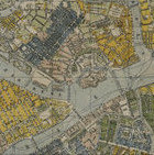
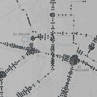
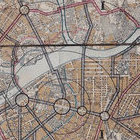
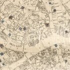
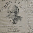
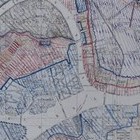
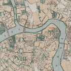
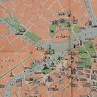
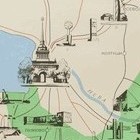
The collection of maps and plans comprises over 500 sheets. It includes both printed maps of Petrograd/Leningrad/St. Petersburg and its environs, as well as original graphic works. Among the latter are plans for urban infrastructure development. A significant portion of this collection is directly related to the City Museum and the urban development commission that existed within it in the 1920s. These materials were created at the museum and served both as visual exhibits illustrating the city's development and as theoretical materials. Translated into modern terms, one could say that the City Museum at that time served as a unique urban studies institute. Some of the cartographic materials collected by the museum at that time related to other countries and later they were passed to Paintings and graphics of cities of the world, but some sheets, often related to the work of Leningrad architects in other cities of the country, remained in the fund.